Scotland’s Railways · Callander railway explorer
Map, places, trains and timetables
Seven railway places from the main-line junction to the through station
Explore the Railway · Dunblane, Doune and Callander
Map, places and trains—together.
Start with the railway on the map, then follow each station, junction, goods location and crossing place westwards. The two Callander stations remain separate because they performed different jobs.
Step 1 · Find the railway
Dunblane to Callander on the map
The route corridor follows the railway west from the surviving main line through Doune and Drumvaich to Callander. Choose a place marker to connect the landscape with its railway role.
Preparing the junction map…
Step 2 · Follow the line west
Seven places, seven different railway jobs
These are not interchangeable dots on a map. Each card explains what happened there and uses a view tied to that part of the route.

junction
Dunblane Junction and station
0m 00c
The branch left the Scottish Central Railway at Dunblane, giving the journey west its main-line connection.
Dunblane was both a station and the point at which the Callander railway separated from the main line. A passenger arriving from the south entered a busy railway setting before turning west onto a much smaller route.
The modern station photograph keeps the starting point recognisable. The former branch then curved away towards wooded ground and Springbank rather than immediately entering dramatic Highland scenery.
Eastern end of the route at Dunblane, beside the surviving main line.
Railway detail
The signalling reference datum is Oban Junction at Dunblane. The branch junction and historic layout still require primary map evidence.
goods location
Springbank Mill siding
Short branch remnant from Dunblane
This mill siding was never a passenger stop, but its short connection to Dunblane became the last surviving part of the branch.
Springbank belongs to the goods railway. Passenger trains passed the location on their way to Doune, while the mill connection gave the short eastern end of the branch a purpose after public services finished.
When the passenger route closed in 1965, track from Dunblane to Springbank remained available for freight until July 1971. The final surviving fragment therefore ended here rather than at a station platform.
Immediately west of Dunblane on the low-ground approach towards Doune.
Railway detail
A surviving freight remnant after passenger closure; it was not a passenger station.

station
Doune
3m 38c–3m 50c
Doune was the first intermediate passenger station on the westward journey and later marked the end of the double-track section.
The railway approached Doune across the broad Teith valley floor. It was the principal intermediate passenger stop between Dunblane and Callander and connected the village directly with the main-line railway.
From 1902 Doune also marked a change in capacity: double track arrived from Dunblane, while the route west continued as a single line. The station was rebuilt with an island platform before the eastern section was singled again in 1955.
Westward approach to Doune at NN 748 018.
Railway detail
The signalling index separately records Doune East box, station and Doune West box. Exact dated layout and facilities remain to be reconstructed.

operating place
Drumvaich Crossing
7m 12c
Opened in 1893, Drumvaich gave trains a crossing place on the long single-line journey between Doune and Callander.
Beyond Doune the railway ran through quieter farmland and shallow wooded folds. Drumvaich was not a public station; it existed so that the single-line railway could work more flexibly.
A passing loop allowed opposing trains to meet, while the combined house and signal-box put railway work into an otherwise rural landscape. The modern alignment photograph preserves that enclosed agricultural character.
Rural alignment at NN 6728 0444 between Doune and Callander.
Railway detail
A passing loop opened in 1893 to divide the long single-line section between Doune and Callander. Its combined house and signal-box building survives as a house.

junction
Callander and Oban Junction
10m 15c
The railway towards Oban diverged here, turning Callander from the end of a branch into the approach to a route west.
Approaching Callander from the east, trains reached the point where the original railway geography met the later route towards the Trossachs and Oban.
The Railway Clearing House diagram shows the relationship schematically. It helps explain why the original terminus, later goods station and through passenger station must remain separate places rather than being treated as one Callander pin.
Eastern approach to Callander before the later line continued west.
Railway detail
The later Oban railway diverged here. The junction must remain distinct from both Callander station sites.
station
Callander (first station)
10m 44c · HES site reference NN 6248 0768
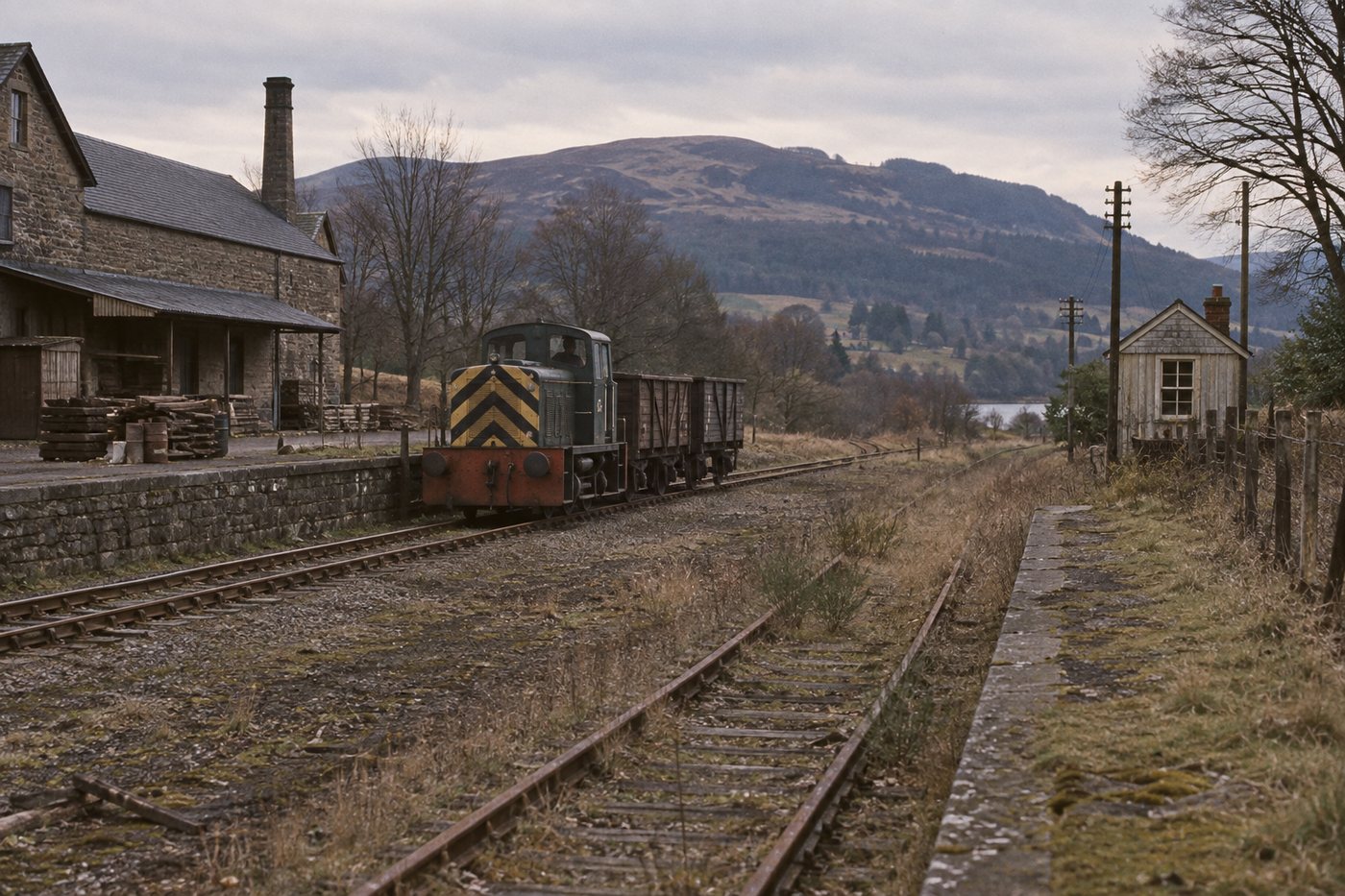
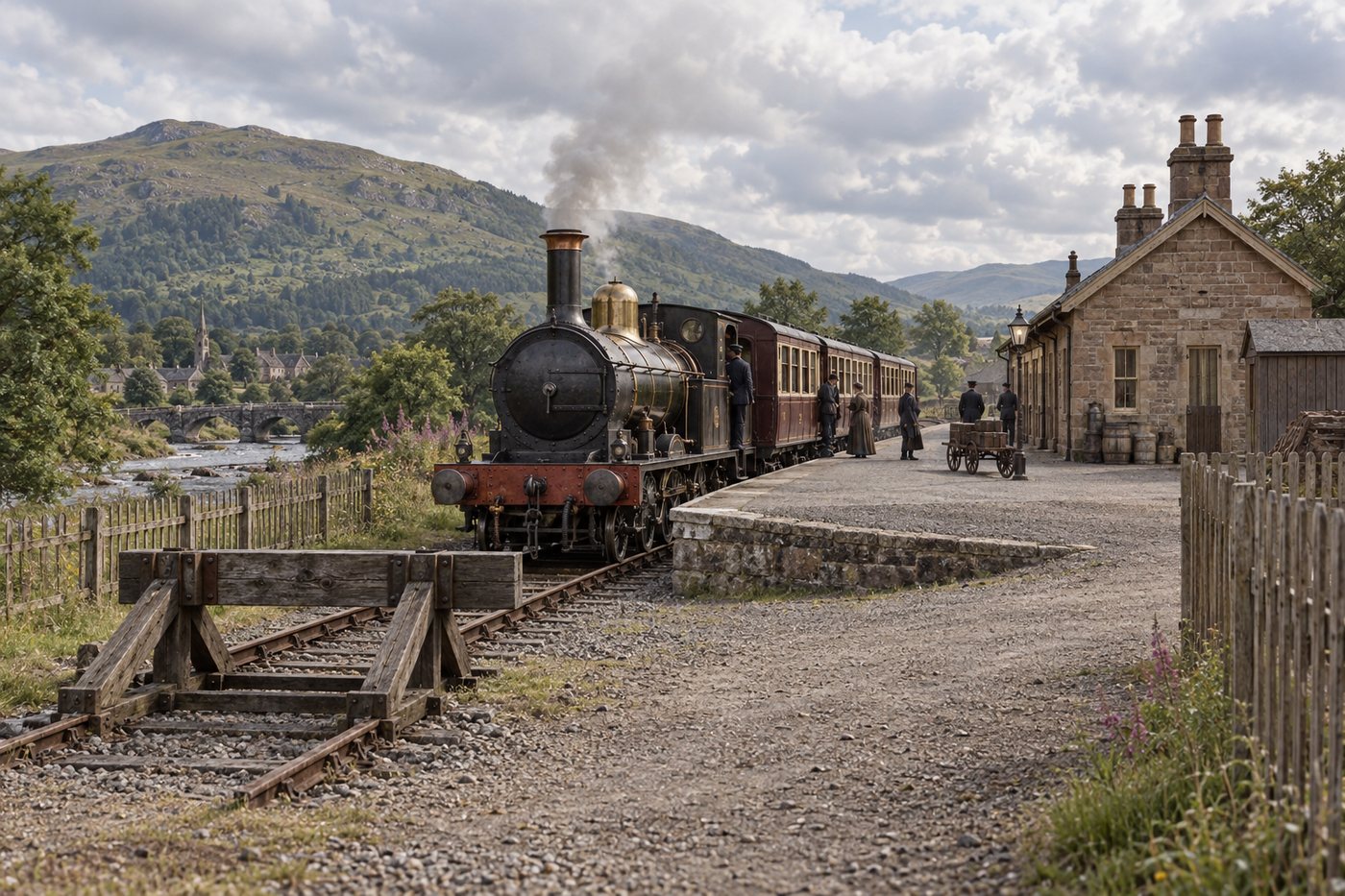
The 1858 terminus served Callander's first passenger railway, then continued as the town's goods-station site after 1870.
From 1858 this was where the railway journey from Dunblane ended. The first station stood east of the later through station and presented Callander as the terminus of a self-contained branch.
After trains began running west in 1870, passenger use moved to the new station. The old terminus survived as the goods station, leaving two distinct railway sites with different jobs and different mileage references.
Recorded predecessor site at NN 6248 0768, east of the later station.
Railway detail
The original 1858 terminus later formed the goods-station site after the Callander and Oban line opened. Historic Environment Scotland records this predecessor site separately; its complete footprint still requires plan and large-scale map inspection.

connected station
Callander (second station)
C&O datum 0m 34c · HES site reference NN 62663 08124
The 1870 through station carried the passenger railway onward towards the Trossachs and Oban until closure in 1965.
The later station changed the experience of arriving at Callander. Trains from Dunblane could now continue west, while bay platforms allowed other services to begin or end in the town.
The photograph from about 1900 shows the place in operation: an Oban train at the down platform and a Dunblane train in the bay. It is the clearest surviving visual explanation of Callander as both through station and local railway centre.
Later through-station site at NN 62663 08124.
Railway detail
The later through station belongs to the connected Callander and Oban story. Its chainage uses the separate C&O datum, and its Historic Environment Scotland record explicitly points back to the earlier station to the east.
Step 3 · Read Callander correctly
One town, two Callander station sites
Callander had two distinct passenger-station sites. Published railway mileages use different datums, while Historic Environment Scotland records separate National Grid references. Neither reference is presented as a surveyed platform outline.
1858–1870 as passenger terminus
The first Callander station
DD&CR terminus, later goods-station site
Railway reference: 10m 44c from the Dunblane datum
HES site reference: NN 6248 0768
This is the original Dunblane, Doune and Callander terminus east of the later through station. The National Grid reference is the predecessor-site reference cited by Historic Environment Scotland.
Passengers arriving from Dunblane between 1858 and 1870 reached the end of the railway here. It was the public face of the original company in Callander before the westward railway transformed the town's role.
After the later station opened, the earlier site continued as the goods station. The location therefore belongs to both the first passenger railway and the longer-lived working goods railway.
Location detail
The reference locates the recorded site to a 100-metre grid square. NRS plan RHP15767 and large-scale mapping must still be inspected before drawing the historic station footprint.
1870–1965 as passenger station
The later Callander station
Callander & Oban through station
Railway reference: 0m 34c from the separate C&O datum
HES site reference: NN 62663 08124
Opened on 1 June 1870, this later station replaced the earlier terminus and carried the passenger railway through Callander. Historic Environment Scotland records bays at both ends of the two platforms and a passing loop on the up side.
The through station belonged to a different railway geography. Trains could arrive from Dunblane and continue west, while bay platforms allowed other workings to begin or end at Callander.
Its two platforms, end bays and passing loop made it a substantially more complex passenger station than the original terminus. The surviving operating photograph helps visitors read that difference immediately.
Location detail
Those layout details describe the later station. They must not be transferred to the 1858 terminus; NRS plan RHP18668 is an identified lead for the goods-station-to-junction relationship.
Keep exploring this railway
Choose another section
Each subject now has the same permanent place and line menu used by the Waverley Route.