Scotland’s Railways · Callander railway explorer
Junctions and operating places
Where the railway connected, crossed and changed
Junctions · Dunblane, Doune and Callander
Two junctions that changed the railway.
Follow the railway from its main-line connection at Dunblane to the junction that transformed Callander from a branch terminus into the gateway to the Oban route. The former terminus appears separately because its later goods-station connection was part of how the railway worked.
Callander railway · junctions & operating layouts
Where the branch met the main line—and became a route west
Two genuine junctions shaped this railway: its departure from the main line at Dunblane and its connection with the railway towards Oban at Callander. The former Callander terminus is included separately as an operating layout because its later goods-station access cannot sensibly be explained without it.
Dunblane → Doune → CallanderThe sequence follows the railway westwards. It distinguishes formal junctions from the separate Callander goods-station layout, and it does not turn schematic diagrams or provisional map points into exact track plans.

Dunblane Junction
The Dunblane, Doune and Callander Railway began beside the Scottish Central Railway at Dunblane. Every passenger or goods train entering the branch passed through this main-line railway setting before turning west towards Springbank and Doune.
Why it mattered
Dunblane connected the Teith valley railway with Stirling, Perth, Glasgow and the wider Scottish network. It was both the eastern end of the local line and the gateway through which through carriages, goods wagons and later the surviving Springbank freight traffic reached the main line.
Where the lines led
- Main line southStirling and Glasgow
- Main line northPerth and the Highland routes
- Branch westDoune and Callander
Direction and function only—not a track plan.
Junction story
A small railway begins at a busy main-line place
Period & operation
1858–1971 railway connection
The railway changed over time. The information below identifies the relevant signal boxes and separates confirmed facts from details that require a legible, date-matched diagram.
What the surviving records tell us
- Period and plan
- The 0m 00c datum and branch relationship are established; a dated junction plan has not yet been inspected
- What remains unresolved
- The published mileage and main-line relationship are established. The marker is a provisional orientation point and does not claim the exact position of points, signals, platforms or sidings in any particular year.

Callander and Oban Junction
The junction on Callander's eastern approach joined the original Dunblane railway with the later route towards the through passenger station and Oban. Its arrival transformed Callander from a branch terminus into a through railway town.
Why it mattered
From 1870 trains arriving from Dunblane could continue through the later Callander station towards the Highlands. The original 1858 terminus remained in railway use as the town's separate goods station, giving the junction a continuing role in both through passenger operation and local goods traffic.
Where the lines led
- EastDoune and Dunblane
- WestLater Callander station and Oban route
- Local connectionOriginal terminus and Callander goods station
Direction and function only—not a track plan.
Junction story
The junction that gave Callander two railway identities
Period & operation
1870–10 April 1938 junction period
The railway changed over time. The information below identifies the relevant signal boxes and separates confirmed facts from details that require a legible, date-matched diagram.
What the surviving records tell us
- Period and plan
- The Railway Clearing House diagram is schematic; the complete period track layout requires inspection of the identified Callander plans
- What remains unresolved
- The 10m 15c reference, the connection towards Oban and the separate goods and passenger stations are established. The provisional map point and the 1909 diagram do not establish exact junction geometry. National Records of Scotland plan RHP18668 remains an identified lead for the goods-station-to-junction relationship.
Callander goods-station connection
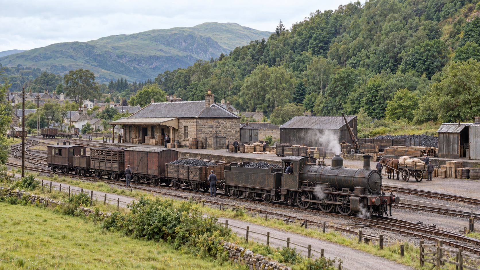
Callander's original 1858 passenger terminus became the town's goods station after the through station opened in 1870. Its access arrangements changed over time and remained tied to the junction story on the eastern approach to the town.
Why it mattered
The goods connection explains why Callander's first station did not simply disappear when the Oban route opened. Coal, livestock and merchandise continued to use the former terminus, while passenger trains used the later through station farther west.
Where the lines led
- Former passenger routeThe 1858 Callander terminus
- Goods workingCallander town goods depot
- Through railwayLater Callander station and Oban route
Direction and function only—not a track plan.
Junction story
The terminus that began a second life
Period & operation
1870–7 June 1965 goods-station use
The railway changed over time. The information below identifies the relevant signal boxes and separates confirmed facts from details that require a legible, date-matched diagram.
What the surviving records tell us
- Period and plan
- The former terminus and its later goods use are established; exact pointwork awaits inspection of the surviving plans
- What remains unresolved
- The predecessor site at NN 6248 0768, its conversion to goods use and the 1938 operating change are recorded. No unseen detail from NRS plans RHP15767 or RHP18668 has been invented; those plans must be inspected before a scale reconstruction is published.
Preparing the junction map…
Keep exploring this railway
Choose another section
Each subject now has the same permanent place and line menu used by the Waverley Route.