Scotland’s Railways · Callander railway explorer
Guided journey
From the main line at Dunblane to two Callander station stories
Follow the line
The railway from Dunblane to Callander
Begin beside the main line at Dunblane, pass Doune and Drumvaich, and arrive at Callander's two different station stories.
- 01 · junction Dunblane Junction and station 0m 00c
- 02 · goods location Springbank Mill siding Short branch remnant from Dunblane
- 03 · station Doune 3m 38c–3m 50c
- 05 · junction Callander and Oban Junction 10m 15c
- 06 · station Callander (first station) 10m 44c · HES site reference NN 6248 0768
- 07 · connected station Callander (second station) C&O datum 0m 34c · HES site reference NN 62663 08124
The railway through time
Four different railway states
The line did not have one unchanging layout or purpose. These dated states separate the opening route, the through railway, later capacity changes and closure.
The opening railway
Dunblane, Doune and the first Callander terminus
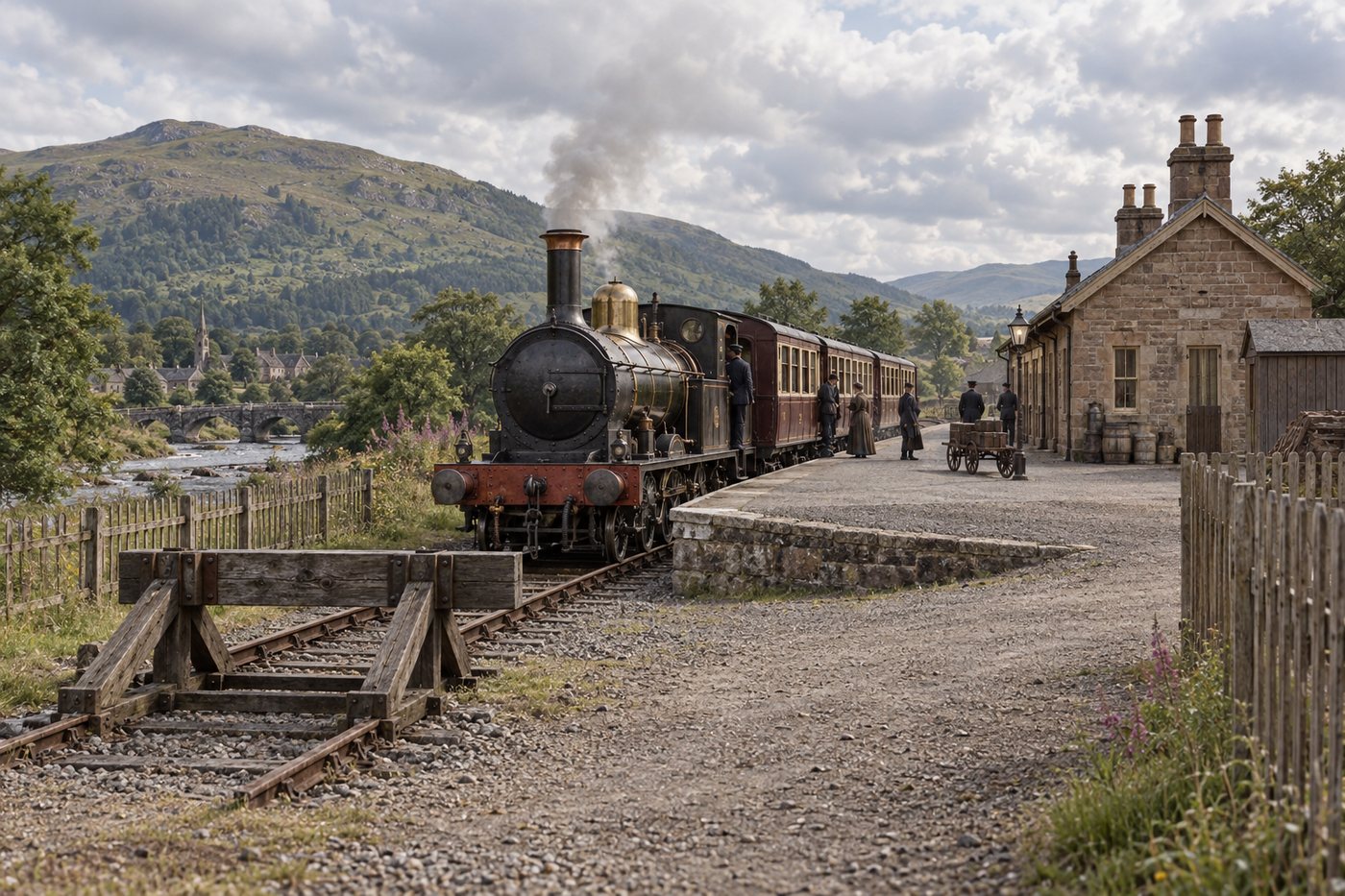
The new railway opened from the Scottish Central Railway at Dunblane through Doune to Callander. The passenger journey ended at the original station east of the later through station site.
The revived company was authorised in July 1856 and opened the ten-and-a-half-mile railway on 1 July 1858. Dunblane supplied the connection with the Scottish Central Railway; Doune became the principal intermediate passenger station; Callander was reached at a modest terminus on the east side of the town.
At this stage the railway was a self-contained branch rather than the later route to Oban. The first Callander station therefore faced an arriving passenger at the end of the line, with the locomotive needing to prepare for the return journey east.

The route opens west
A through station replaces the terminus
The Callander and Oban Railway carried the passenger route onward from Callander. The later station served through trains, while the 1858 terminus continued as the town's goods-station site.
Opening westward on 1 June 1870 changed Callander from the end of a branch into a through railway town. A new station served the Callander and Oban route while trains from Dunblane could continue towards the Highlands.
The 1858 terminus did not simply vanish: its site continued in goods use. That is why the two station sites tell different parts of the town's railway story and should be viewed together rather than collapsed into a single location.
Capacity and crossing
Drumvaich divides the single line; Doune gains double track
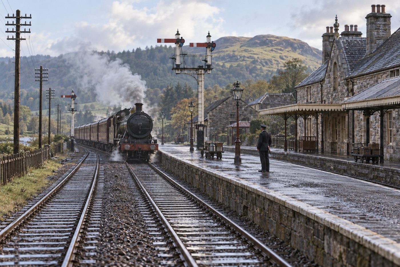
Drumvaich Crossing opened in 1893. From 1902 the railway was double track between Dunblane and Doune and single onwards to Callander; the Dunblane–Doune section returned to single track in 1955.
Drumvaich Crossing divided the long single-line stretch between Doune and Callander from 31 August 1893, giving railway staff another controlled place at which opposing trains could pass.
The opening of double track between Dunblane and Doune on 9 June 1902 brought a rebuilt island platform at Doune and altered signalling arrangements. Singling in October 1955 marked the later contraction of the railway before passenger closure.
Closure in stages
Passenger closure, then the Springbank freight remnant
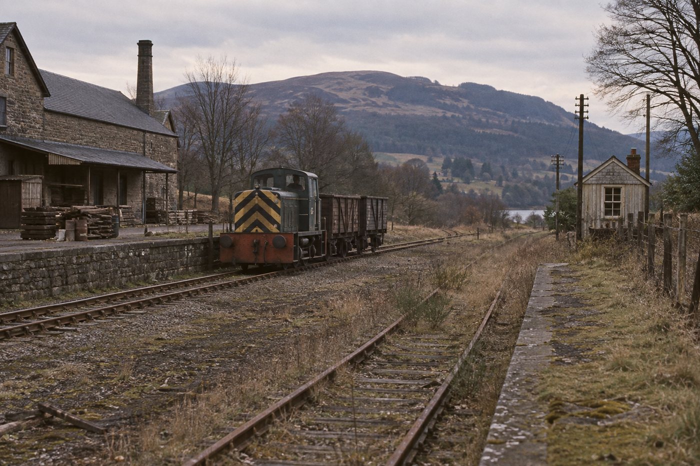
Passenger and through operation ended in November 1965. A short freight connection from Dunblane to Springbank Mill survived until 30 July 1971.
Passenger trains and through working ended on 1 November 1965, severing the public railway west of Dunblane. Stations and the wider route closed, but the change was not an instantaneous disappearance of every railway movement.
A short connection from Dunblane to Springbank Mill remained available for freight until 30 July 1971. Its survival explains why the railway's final date depends on whether the story being told is passenger travel, through operation or the last local freight remnant.
Guided journey · Dunblane to Callander
Four stages across the railway
Follow the mapped corridor west through four recognisable landscapes. Each chapter is paired with a photograph from the place it describes.

Dunblane and Springbank
Leaving the main line
The branch began from the Scottish Central Railway at Dunblane. Springbank Mill siding was a goods location rather than a passenger stop, and the short connection back to Dunblane outlived the passenger railway.
The journey began beside the surviving main line at Dunblane, then turned west into the low ground followed by the former railway towards Doune. The mapped corridor and the modern trackbed view place this first stage among wooded cuttings and the gently rising farmland beyond the town, not in a Highland mountain pass.
Springbank belonged to the working railway rather than the passenger timetable. Its mill siding explains why a short fragment remained connected to Dunblane after passenger trains ceased in 1965, finally closing to freight in July 1971.
Mapped corridor: west from Dunblane towards Springbank; photograph at NN 7788 0153.
Journey detail
The exact historic junction and siding layout still remain to be mapped.

Doune
The first passenger station west
Doune was one of the two new passenger stations when the railway opened in 1858. The line was doubled as far as Doune in 1902 and singled again in 1955, making the station a visible marker of changing capacity across the railway’s life.
Approaching Doune from the east, the railway crossed open farmland on the broad valley floor. The surviving path photographed at NN 748 018 looks west along the former formation, fixing the journey in the real landscape before it reaches the village.
Doune changed with the railway. What opened as an intermediate station on the original single line became the western end of the doubled section in 1902, with a rebuilt island platform and revised signalling, before the route was singled again in 1955.
Mapped corridor: west across the Teith valley floor towards Doune; photograph at NN 748 018.
Journey detail
The station’s exact dated platform, goods and signalling arrangements remain to be reconstructed.

Drumvaich
A crossing place on the single line
Drumvaich Crossing opened in 1893 between Doune and Callander. It divided the long single-line section and shows that the journey depended on operating places as well as passenger stations.
West of Doune the line entered a quieter rural stretch, running through fields and shallow wooded folds as it approached Drumvaich. A 2025 photograph at NN 6728 0444 follows the grassy former alignment and gives this part of the journey its actual enclosed, agricultural character.
Drumvaich was not a public station. Its loop allowed opposing trains to pass on the single line, while the combined house and signal-box made railway operation part of an otherwise sparsely settled landscape.
Mapped corridor: west-northwest between Doune and Callander; photograph at NN 6728 0444.
Journey detail
No individual train crossing is claimed until a dated working timetable is inspected.
Callander
One town, two station stories
The 1858 terminus and the later 1870 through station are separate places. The first station became the goods site when the railway towards Oban opened; the later station carried the passenger railway through Callander.
The approach to Callander brought the railway towards the town from the east before the later route continued west towards the Trossachs. The two Callander stations must be read as separate sites: the modest original terminus and goods ground lay east of the more elaborate through station.
The operating photograph from about 1900 shows the later station in its own setting, with an Oban train at the down platform and a Dunblane train in the bay. It turns the end of this guided journey from a generic arrival into a recognisable Callander railway scene.
Mapped corridor: east-to-west arrival in Callander; later station at NN 62663 08124.
Journey detail
Their mileage references use different datums and are not merged into one continuous measurement.
Keep exploring this railway
Choose another section
Each subject now has the same permanent place and line menu used by the Waverley Route.