Arrival and departure
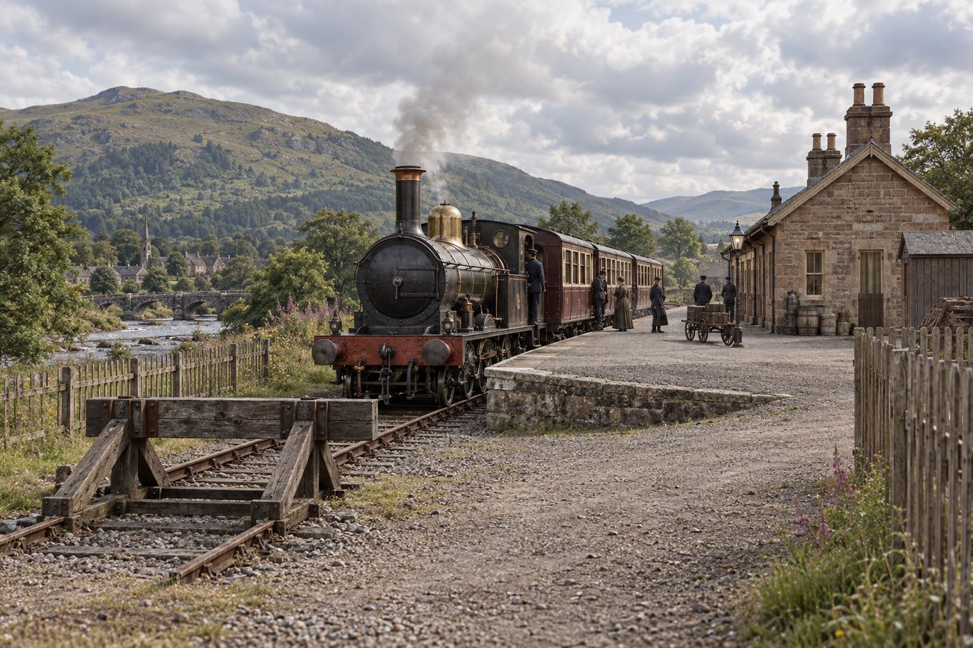
Platforms and station buildings were the public entrance to the railway.
Stations
Stations were public railway places: platforms, waiting rooms and working buildings where people joined a train, completed a journey or changed for somewhere else.
Explore the stations →The public railway
These records concentrate on the places where people encountered the railway, while keeping their passenger, goods and community roles visible.
Platforms and station buildings were the public entrance to the railway.
Station staff, goods facilities and daily trains connected railway work with local life.
Some stations let passengers change trains or continue towards a branch, harbour or distant city.
A line-by-line collection
Meet town stations, village stops and harbour connections, then follow each railway to continue the passenger journey.
Edinburgh to Carlisle
Follow the passenger railway from Edinburgh Waverley through the Borders to Carlisle, including small rural stops, town stations and the station sites that were also working junctions.
City terminus
The northern terminus beneath Edinburgh Old Town, with through connections across Scotland.
Open the station source ↗Record positionMapped Waverley Route station record
Edinburgh station
A station immediately east of Waverley on the Edinburgh approaches.
Open the station source ↗Record positionMapped Waverley Route station record
Edinburgh station
An Edinburgh suburban station on the eastern approach to the route.
Open the station source ↗Record positionMapped Waverley Route station record
Coastal town station
A junction-area station serving eastern Edinburgh and the coast.
Open the station source ↗Record positionMapped Waverley Route station record
Town station
The route station serving Eskbank and Dalkeith.
Open the station source ↗Record positionMapped Waverley Route station record
Town station
The railway station before the climb towards Falahill.
Open the station source ↗Record positionMapped Waverley Route station record
Rural station
A rural station between Falahill summit and Fountainhall.
Open the station source ↗Record positionMapped Waverley Route station record

Station and former branch junction
Passenger trains to Lauder ended in 1932, but goods traffic kept the branch connection relevant until 1958. Fountainhall retained the Junction suffix in its station name until 1959: a small reminder that railway geography could survive after the traffic that created it had disappeared.
It connected the Gala Water main line with the communities of the Lauder branch, making a relatively modest station the gateway to a separate local railway.
Open the station source ↗Record positionMapped Waverley Route station record
Village station
The railway station serving Stow in the Gala Water valley.
Open the station source ↗Record positionMapped Waverley Route station record
%2C_Scottish_Borders_(geograph_4664762).jpg)
Town station and interchange
The Selkirk branch opened in 1856 and met the main line about a mile south of Galashiels. The Peebles route was completed to Galashiels in 1867 and rejoined the Waverley Route at Kilnknowe Junction north-west of the town. Passenger traffic disappeared from both branches before the main line closed, but goods traffic on the Selkirk side survived into 1964, so the chosen date matters.
The junctions connected the Waverley main line with Selkirk, Peebles and the industrial traffic of Galashiels. Woollen mills, coal and goods traffic gave the railway a strong economic purpose beyond passenger interchange.
Open the station source ↗Record positionMapped Waverley Route station record
Town station
The railway station serving the historic town of Melrose.
Open the station source ↗Record positionMapped Waverley Route station record

Main-line station and interchange
St Boswells was more than a place where one line diverged. Three named signal boxes divided responsibility between the station approaches and Kelso Junction, while the eastward railway provided a route through Greenlaw and Kelso towards the East Coast line at Reston. Passenger interchange, goods handling and locomotive activity therefore met in one railway centre.
Through passengers and goods could remain on the Edinburgh–Carlisle railway or change direction for the eastern Borders and the East Coast route at Reston.
Open the station source ↗Record positionMapped Waverley Route station record
Rural station
A rural station between St Boswells and Hassendean.
Open the station source ↗Record positionMapped Waverley Route station record
Rural station
A small wayside station in the Teviot valley approach to Hawick.
Open the station source ↗Record positionMapped Waverley Route station record

Major town station
Hawick earns its place in this chapter because railway operations converged here even though another passenger branch did not. North and South signal boxes governed the approaches to a station complex containing passenger roads, goods facilities and locomotive activity. It was a place where trains were handled and serviced, not merely passed from one stretch of main line to the next.
Passenger calls, locomotive activity, goods traffic and movements through a large railway town all met here. Understanding Hawick is essential to understanding how the Waverley Route worked day to day.
Open the station source ↗Record positionMapped Waverley Route station record
Rural station
A station south of Hawick on the climb towards Whitrope.
Open the station source ↗Record positionMapped Waverley Route station record
Upland station
A remote upland station on the Whitrope climb.
Open the station source ↗Record positionMapped Waverley Route station record

Junction station and railway settlement
Riccarton was exceptional because the junction came first and the community grew around it. The Border Counties line brought a second railway purpose to an isolated Waverley Route station, together with the staff and families needed to operate it. When that line closed in 1958, Riccarton changed from an active junction into a reduced main-line railway place, so its earlier and later layouts must never be presented as one period.
The junction connected the Borders main line with the North Tyne valley and Hexham. It also created an isolated railway community whose existence depended on the railway itself.
Open the station source ↗Record positionMapped Waverley Route station record
Rural station
A rural station in Liddesdale between Riccarton and Newcastleton.
Open the station source ↗Record positionMapped Waverley Route station record
Village station
The railway station serving Newcastleton in Liddesdale.
Open the station source ↗Record positionMapped Waverley Route station record
Border station
A remote station close to the Scotland-England border.
Open the station source ↗Record positionMapped Waverley Route station record
Rural station
A Border Union Railway station between Kershope Foot and Longtown, present in the Summer 1964 passenger timetable evidence.
Open the station source ↗Record positionMapped Waverley Route station record
_-_geograph-2889811.jpg)
Junction station
The branch opened for mineral traffic to Canonbie Colliery in 1862 and for all traffic to Langholm in 1864. Passenger services ended on 15 June 1964, but freight survived until 1967. After the Waverley Route itself closed, British Rail invited the press to watch a panel of track being lifted near Riddings—a deliberately public symbol that the through railway had been severed.
It gave Langholm, Canonbie and the Esk valley access to the Edinburgh–Carlisle main line. Local farms and Canonbie Colliery also made the connection important for minerals, livestock and goods rather than passengers alone.
Open the station source ↗Record positionMapped Waverley Route station record
Town station and freight centre
The final intermediate station before Carlisle.
Open the station source ↗Record positionMapped Waverley Route station record
City station
The southern terminus, connecting with major English and Scottish routes.
Open the station source ↗Record positionMapped Waverley Route station record
Dumfries to Stranraer and the branches
The main route and its Kirkcudbright, Portpatrick and Whithorn branches carried passengers through towns, villages, remote country and the harbour railway at Stranraer.
Town station and eastern gateway
The Port Road trains used Dumfries, while the historic branch alignment joined the Glasgow and South Western Railway north of the station.
Record positionPassenger station in the final Port Road period
Town station
secondary railway catalogue dates passenger use to 1860–1939.
Record positionClosed before the 1964–65 final passenger period
Rural station
secondary railway catalogue dates passenger use to 1860–1939; goods use continued later.
Record positionClosed before the 1964–65 final passenger period
Rural station
secondary railway catalogue dates passenger use to 1859–1959.
Record positionClosed before the 1964–65 final passenger period
Village station
secondary railway catalogue dates passenger use to 1859–1950.
Record positionClosed before the 1964–65 final passenger period
Rural station
Passenger use resumed after a 1939–1941 interruption and continued until the line closed in 1965.
Record positionPassenger station in the final Port Road period
Town station
Main-line station in the final passenger period.
Record positionPassenger station in the final Port Road period
Rural station
secondary railway catalogue records closure in 1894.
Record positionClosed before the 1964–65 final passenger period

Town and branch station
Through trains and local calls shared the railway here with the Kirkcudbright branch. The relationship is established, while the platform, point and signal arrangement must remain qualified until a date-matched plan is secured.
The station connected the through Dumfries-Stranraer route with Kirkcudbright and concentrated passenger, goods and branch movements at one of the principal railway centres in the Stewartry.
Record positionPassenger station in the final Port Road period
Village station
Main-line station in the final passenger period.
Record positionPassenger station in the final Port Road period
Village station
Main-line station in the final passenger period.
Record positionPassenger station in the final Port Road period
Town station
The station was at Mossdale, several miles from New Galloway; the exact contemporary description remains to be checked.
Record positionPassenger station in the final Port Road period
Remote station
The form used in the 1964–65 working timetable will control the reconstructed label.
Record positionPassenger station in the final Port Road period
Town station
A succession of names is recorded; the final-period timetable name must be confirmed directly.
Record positionPassenger station in the final Port Road period
Village station
Main-line station in the final passenger period.
Record positionPassenger station in the final Port Road period
Rural station
secondary railway catalogue records passenger closure in 1951.
Record positionClosed before the 1964–65 final passenger period

Town and branch station
The branch made Newton Stewart more than an intermediate main-line station. Its operational story changes with the selected period, so the 1926 timetable evidence and the still-unverified track layout are kept as separate claims.
It was the transfer point between the Dumfries-Stranraer main route and the railway serving the Machars, bringing branch passengers and traffic onto the Port Road.
Record positionPassenger station in the final Port Road period
Village station
Main-line station in the final passenger period.
Record positionPassenger station in the final Port Road period
Village station
Main-line station in the final passenger period.
Record positionPassenger station in the final Port Road period
Village station
Passenger station in the final period; trains still pass the location on the surviving line.
Record positionPassenger station in the final Port Road period
Village station
Passenger station in the final period on the section that remains open from Ayr to Stranraer.
Record positionPassenger station in the final Port Road period
Town terminus
Formerly Stranraer; the Town suffix distinguishes it from Stranraer Harbour in the final period.
Record positionPassenger station in the final Port Road period
Harbour terminus
Ferry-pier station and the modern rail terminus; opening and service dates remain separate from the railway reaching Stranraer in 1861.
Record positionPassenger station in the final Port Road period
Kirkcudbright branch station
Intermediate station on the Kirkcudbright branch, located by the national heritage record.
Open the station source ↗Record positionQualified
Branch terminus
Branch terminus represented separately from the Dumfries-Stranraer main route.
Record positionQualified
Portpatrick branch station
Intermediate station between Stranraer and Portpatrick in the 1926 LMS timetable.
Open the station source ↗Record positionQualified
Branch terminus
Portpatrick branch terminus in the 1926 LMS timetable.
Open the station source ↗Record positionQualified
Machars branch station
First advertised call south of Newton Stewart on the Whithorn branch.
Open the station source ↗Record positionQualified
Machars branch station
Intermediate station on the Newton Stewart–Whithorn branch.
Open the station source ↗Record positionQualified
Machars branch station
Intermediate station on the Newton Stewart–Whithorn branch.
Open the station source ↗Record positionQualified
Machars branch station
Intermediate station on the Newton Stewart–Whithorn branch.
Open the station source ↗Record positionQualified
Station for Garlieston
Station named in the poster for the Garlieston connection; the passenger timetable does not show a train to Garlieston itself.
Open the station source ↗Record positionQualified
Branch terminus
Southern terminus of the Wigtownshire branch in the 1926 LMS timetable.
Open the station source ↗Record positionQualified
Dunblane to Callander
The collection keeps Dunblane, Doune and Callander’s two distinct station sites separate so the change from the first terminus to the later through station is not blurred.

Main-line station
Passengers joined the railway west at Dunblane, where the branch left the Scottish Central Railway for Doune and Callander.
The station connected local journeys with the wider Scottish main-line network.
Open the station source ↗Record positionQualified

Village station
Doune was the first intermediate passenger station on the westward journey and later marked the end of the double-track section.
The railway approached Doune across the broad Teith valley floor. It was the principal intermediate passenger stop between Dunblane and Callander and connected the village directly with the main-line railway.
Open the station source ↗Record positionQualified
Original terminus
The 1858 terminus served Callander's first passenger railway, then continued as the town's goods-station site after 1870.
From 1858 this was where the railway journey from Dunblane ended. The first station stood east of the later through station and presented Callander as the terminus of a self-contained branch.
Open the station source ↗Record positionQualified

Later through station
The 1870 through station carried the passenger railway onward towards the Trossachs and Oban until closure in 1965.
The later station changed the experience of arriving at Callander. Trains from Dunblane could now continue west, while bay platforms allowed other services to begin or end in the town.
Open the station source ↗Record positionQualified
Preparing the historic station map…
Coverage check · 2026-09-28
Every mapped passenger station site in the three published railway stories is listed in route order. Junction-only operating places, goods locations and crossings are excluded; stations that also functioned as junctions remain included.
Continue the journey
Every photograph, later view, diagram and reconstruction remains connected to the railway and source that gives it meaning.