Lines meet and divide
Branches and main lines converged, separated and changed the direction of railway journeys.
Junctions
Junctions were operating locations where routes converged or separated. Points, signals and signal boxes directed trains safely; passengers normally experienced them from the train, not as places to wait.
Explore the junctions →Junctions through time
These records follow how each connection served the railway, how its importance changed and what remains today.
Branches and main lines converged, separated and changed the direction of railway journeys.
Railway staff worked points, signals and boxes to move trains safely through each layout.
Freight yards, collieries, harbours and branch traffic often gave a junction its purpose.
A line-by-line collection
Follow the points where routes met, divided or changed direction, then open the railway to see the wider operating story.
Edinburgh to Carlisle
Branches for Lauder, Selkirk, Kelso, Hexham and Langholm turned the main line into a network rather than a single road south.

Junction
Passenger trains to Lauder ended in 1932, but goods traffic kept the branch connection relevant until 1958. Fountainhall retained the Junction suffix in its station name until 1959: a small reminder that railway geography could survive after the traffic that created it had disappeared.
It connected the Gala Water main line with the communities of the Lauder branch, making a relatively modest station the gateway to a separate local railway.
Then and now
The Lauder branch closed to goods in 1958. The junction suffix disappeared from the station name in 1959, and the Waverley Route through the site closed in 1969.
A working branch junction became a reduced main-line station, then a railway site without track.
Record positionRoute relationship established
%2C_Scottish_Borders_(geograph_4664762).jpg)
Junction railway centre
The Selkirk branch opened in 1856 and met the main line about a mile south of Galashiels. The Peebles route was completed to Galashiels in 1867 and rejoined the Waverley Route at Kilnknowe Junction north-west of the town. Passenger traffic disappeared from both branches before the main line closed, but goods traffic on the Selkirk side survived into 1964, so the chosen date matters.
The junctions connected the Waverley main line with Selkirk, Peebles and the industrial traffic of Galashiels. Woollen mills, coal and goods traffic gave the railway a strong economic purpose beyond passenger interchange.
Then and now
The Selkirk and Peebles connections disappeared before the main line closed. Passenger trains returned to Galashiels on the Borders Railway in 2015, but not on the old branch alignments.
A multi-route railway centre is now a through station on the Edinburgh–Tweedbank railway.
2 linked accident or incident records Read the reports ↓
Record positionRoute relationships established

Junction and station complex
St Boswells was more than a place where one line diverged. Three named signal boxes divided responsibility between the station approaches and Kelso Junction, while the eastward railway provided a route through Greenlaw and Kelso towards the East Coast line at Reston. Passenger interchange, goods handling and locomotive activity therefore met in one railway centre.
Through passengers and goods could remain on the Edinburgh–Carlisle railway or change direction for the eastern Borders and the East Coast route at Reston.
Then and now
The Kelso and Jedburgh connections and the Waverley main line are closed. The extensive station and junction complex no longer carries railway traffic.
A substantial interchange and operating centre became a trackless former railway site.
2 linked accident or incident records Read the reports ↓
Record positionDated mapping registered

Junction and railway settlement
Riccarton was exceptional because the junction came first and the community grew around it. The Border Counties line brought a second railway purpose to an isolated Waverley Route station, together with the staff and families needed to operate it. When that line closed in 1958, Riccarton changed from an active junction into a reduced main-line railway place, so its earlier and later layouts must never be presented as one period.
The junction connected the Borders main line with the North Tyne valley and Hexham. It also created an isolated railway community whose existence depended on the railway itself.
Then and now
The Border Counties passenger service ended in 1956 and freight in 1958. The Waverley Route closed in 1969; surviving platforms and later heritage work mark the isolated railway settlement.
A junction that supported its own railway village is now reached as a remote heritage site rather than by train.
2 linked accident or incident records Read the reports ↓
Record positionPlan evidence required
_-_geograph-2889811.jpg)
Junction station
The branch opened for mineral traffic to Canonbie Colliery in 1862 and for all traffic to Langholm in 1864. Passenger services ended on 15 June 1964, but freight survived until 1967. After the Waverley Route itself closed, British Rail invited the press to watch a panel of track being lifted near Riddings—a deliberately public symbol that the through railway had been severed.
It gave Langholm, Canonbie and the Esk valley access to the Edinburgh–Carlisle main line. Local farms and Canonbie Colliery also made the connection important for minerals, livestock and goods rather than passengers alone.
Then and now
Langholm passenger trains ended in 1964 and freight in 1967. The Waverley Route followed in 1969, leaving neither the branch junction nor a passenger railway at the site.
A main-line junction station with a branch purpose has disappeared from the working railway.
1 linked accident or incident record Read the reports ↓
Record positionJunction purpose and station position established
.jpg)
Junction, station and freight centre
The Gretna route began as the North British Railway’s connection from Longtown towards the west-coast railway. Passenger use ended early, but the line acquired a new operational purpose after Kingmoor marshalling yard opened: Waverley Route goods trains could use it as the northern approach to the yard. That changing role makes Longtown a particularly clear example of a junction whose importance cannot be judged by passenger services alone.
The junction was more than a branch for local passengers. Its Gretna connection later became a route by which Waverley goods trains could approach Kingmoor marshalling yard, while Longtown’s goods facilities and wartime sidings served an important freight landscape.
Then and now
The Waverley Route through Longtown closed in 1969 and the former Gretna connection no longer performs its historic junction role.
A passenger, freight and connecting-line junction is no longer part of the national passenger railway.
Record positionRoute and freight purpose established
Dumfries to Stranraer
Branch, harbour and goods connections show how the railway distributed traffic across Galloway and towards the Irish Sea.

Junction
The junction belongs to the operating geography of Dumfries rather than the passenger-station list. Keeping it separate prevents a railway control point from being mistaken for another public stop.
It formed part of the goods and passenger railway at the eastern entrance to the Port Road, where the line passed from the Dumfries railway complex towards Maxwelltown and Castle Douglas.
Then and now
The Dumfries–Challoch section closed in 1965. The active Glasgow and South Western route remains nearby, while the historic westward through-road function has gone.
A gateway to the Port Road survives only as a much reduced railway connection.
Record positionLocation qualified; layout unresolved

Station and junction
Through trains and local calls shared the railway here with the Kirkcudbright branch. The relationship is established, while the platform, point and signal arrangement must remain qualified until a date-matched plan is secured.
The station connected the through Dumfries-Stranraer route with Kirkcudbright and concentrated passenger, goods and branch movements at one of the principal railway centres in the Stewartry.
Then and now
The Kirkcudbright branch closed in May 1965 and the Port Road followed in June. Castle Douglas is no longer a railway junction or passenger station.
One of Galloway’s principal railway centres became a trackless former station site.
Record positionRoute relationship established

Station and junction
The branch made Newton Stewart more than an intermediate main-line station. Its operational story changes with the selected period, so the 1926 timetable evidence and the still-unverified track layout are kept as separate claims.
It was the transfer point between the Dumfries-Stranraer main route and the railway serving the Machars, bringing branch passengers and traffic onto the Port Road.
Then and now
The Whithorn branch lost passenger trains in 1950 and closed completely in 1964. The Port Road through Newton Stewart closed in 1965.
A transfer point for the Machars became a former railway site with no active junction.
Record positionRoute relationship established
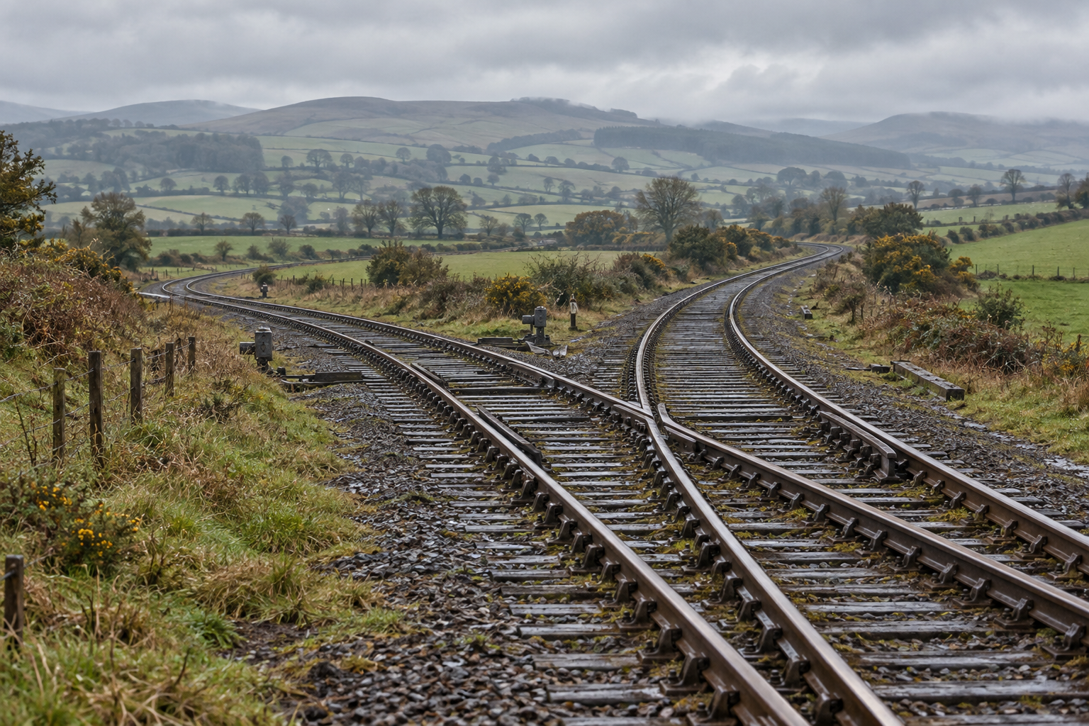
Junction
Challoch explains why trains can still reach Stranraer even though the Port Road across Galloway is closed. The junction must be read in two states: the historical meeting of routes and the railway that survives westwards today.
It became the dividing point between the closed cross-country route from Dumfries and the western railway that continues to carry passenger trains into Stranraer.
Then and now
The line east towards Dumfries closed in 1965. Trains still pass on the Ayr–Stranraer railway, but the former Port Road arm has gone.
The meeting of two cross-country routes has become a through point on the surviving Stranraer line.
Record positionConnection and modern survival established
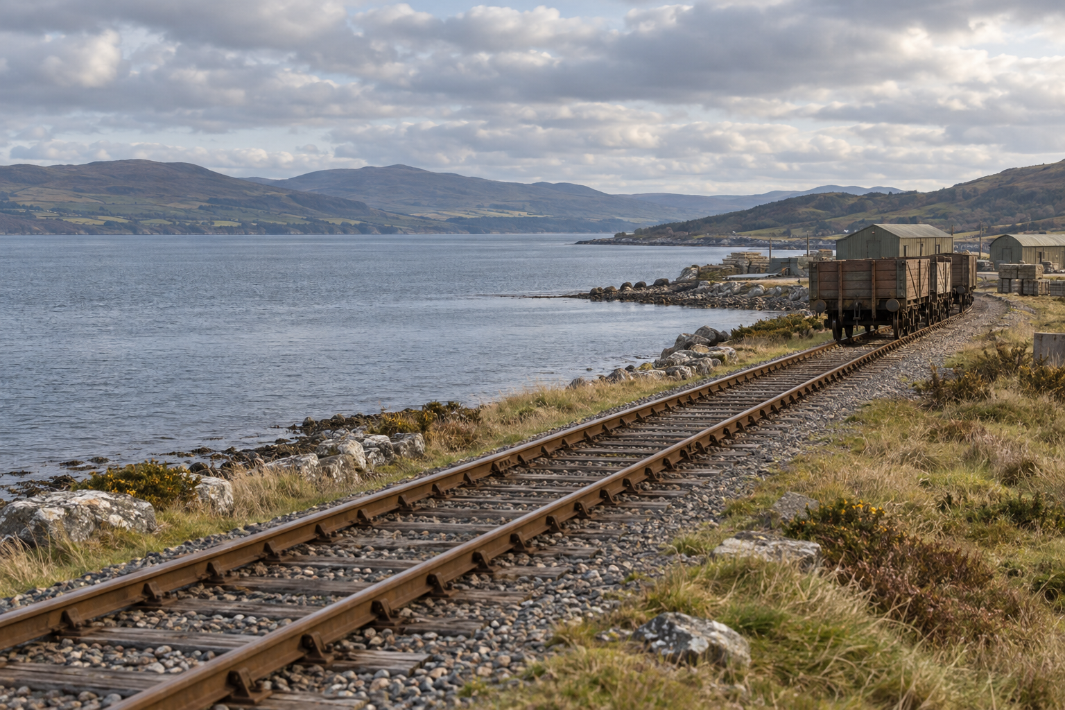
Junction
Cairnryan's branch story belongs to a different purpose and period from the ordinary station sequence. The Explorer therefore shows the relationship but leaves its 1964 apparatus and operating state unresolved.
The junction links the railway with the wartime development of Loch Ryan and shows how military needs could add a temporary or changing layer to an established passenger route.
Then and now
The wartime military railway connection has disappeared. The Ayr–Stranraer passenger line continues through the area without the former branch function.
A strategic wartime junction is now simply part of the surviving coastal railway.
Record positionMilitary branch known; period state unresolved

Junction
The junction prevents the Stranraer story from being compressed into one station. Town, harbour and Portpatrick had different functions and dates, while the harbour connection became central to the rail-and-sea journey.
It directed trains either towards Stranraer Town and the former Portpatrick route or towards the harbour terminus, where rail passengers connected with Irish Sea services.
Then and now
The old route towards Portpatrick and Stranraer Town closed in stages. Passenger trains still reach Stranraer Harbour, but the historic divergence no longer works as a junction.
A junction between town, harbour and Portpatrick routes became the single approach to today’s terminus.
1 linked accident or incident record Read the reports ↓
Record positionHarbour divergence established
Dunblane to Callander
Dunblane connected the branch with the main line, while the later Callander junction carried the railway onwards towards Oban.

junction
The branch left the Scottish Central Railway at Dunblane, giving the journey west its main-line connection.
Dunblane was both a station and the point at which the Callander railway separated from the main line. A passenger arriving from the south entered a busy railway setting before turning west onto a much smaller route.
Then and now
Dunblane remains an active passenger station, but the railway towards Doune and Callander closed in 1965 and no longer diverges from the main line.
A junction between main line and branch is now an operating main-line station without the western route.
Record positionQualified

junction
The railway towards Oban diverged here, turning Callander from the end of a branch into the approach to a route west.
Approaching Callander from the east, trains reached the point where the original railway geography met the later route towards the Trossachs and Oban.
Then and now
The old terminus connection ceased to operate as a junction in 1938. The through railway between Dunblane and Crianlarich closed after the 1965 Glen Ogle rockfall.
A junction that transformed Callander from a terminus into a through railway place has vanished from the working network.
Record positionQualified
Preparing the historic junction map…
Coverage check · 2026-09-26
Every published railway story with the junctions capability is checked against its junction-study data. Operating layouts that are not junctions are excluded. New railway stories must be added here before release.
More views
Later photographs add human and landscape detail without pretending to show the junction in operation.


Accidents and operating lessons
These are linked only where the route archive names the junction or its station complex. Illustrations are clearly marked reconstructions, never presented as accident photographs.
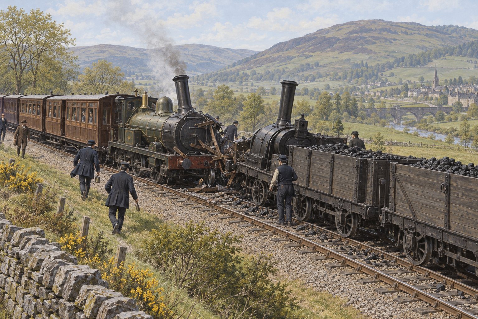
1850-05-13 · About two miles from Galashiels
A North British passenger train collided with a coal train about two miles from Galashiels.
Open the report source ↗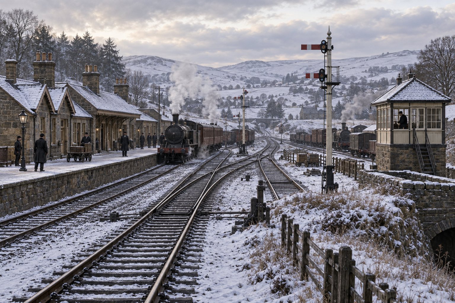
1866-01-09 · Riccarton Junction
The accident archive records a sidelong collision and derailment at Riccarton Junction, causing one injury. The full report sequence has not yet been recovered.
Open the report source ↗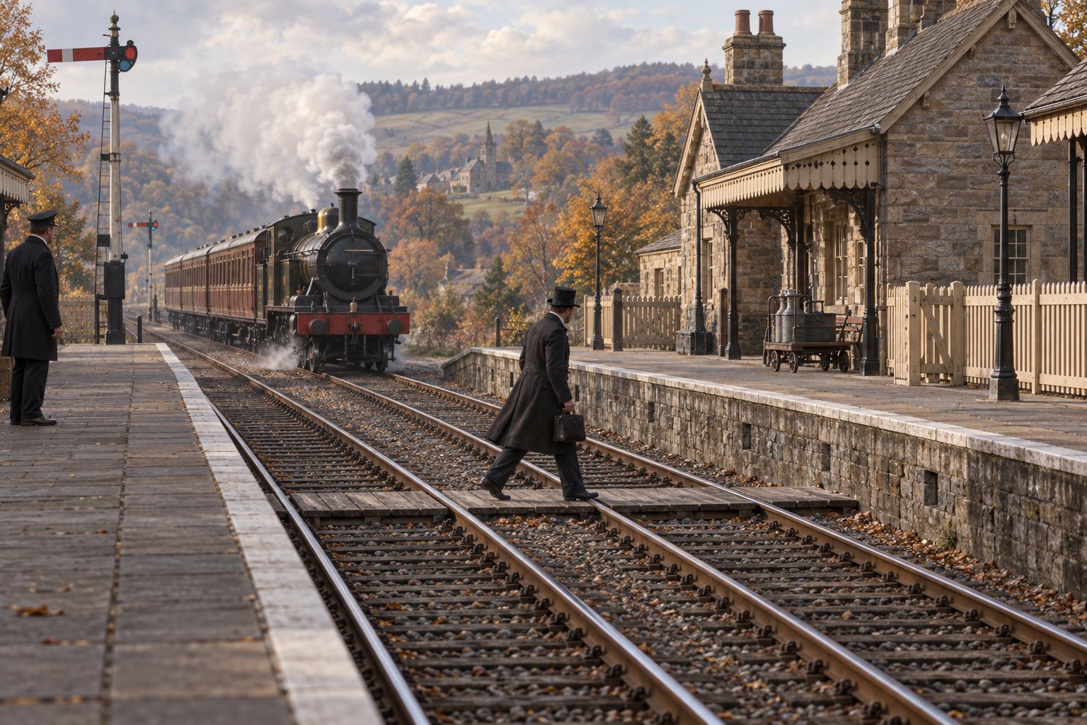
1868-11-06 · St Boswells
At about 8:07 p.m., a passenger crossing between platforms was struck as a Berwickshire branch train, running about five minutes late, drew slowly into St Boswells.
Open the report source ↗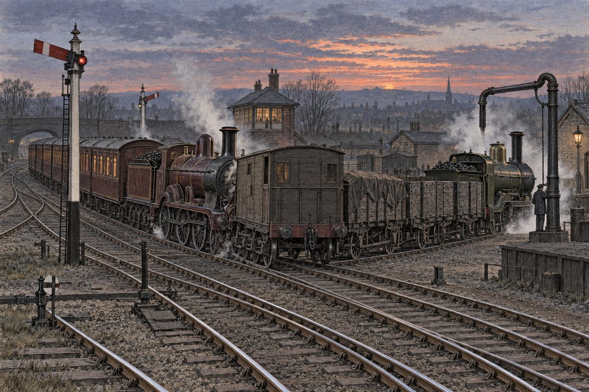
1879-03-03 · Riccarton Junction
An up passenger train approaching Riccarton platform struck the rear of the Portobello goods about 70 yards outside the up home signal while the goods engine was taking water.
Open the report source ↗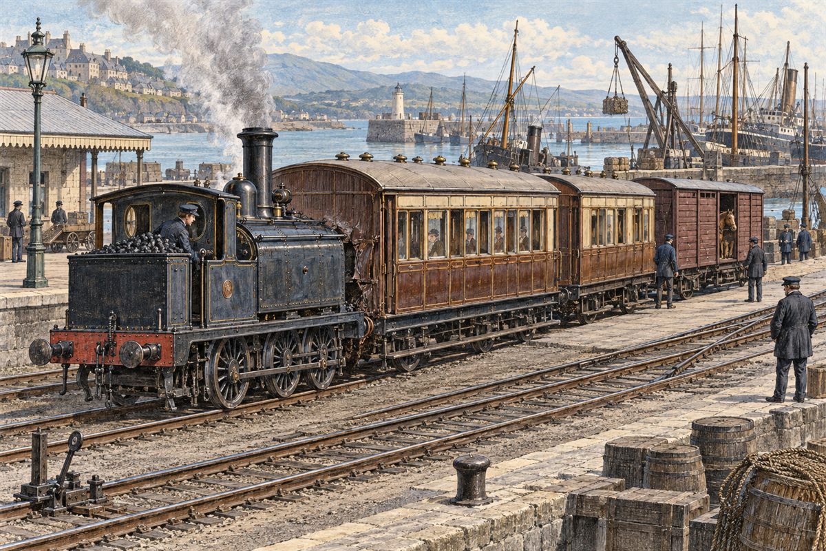
1879-09-12 · Stranraer Harbour
In darkness at Stranraer Harbour, a Caledonian engine arriving to attach to the Dumfries train struck its passenger vehicles after a light pilot engine had pushed them forward while a horse-box was being attached.
Open the report source ↗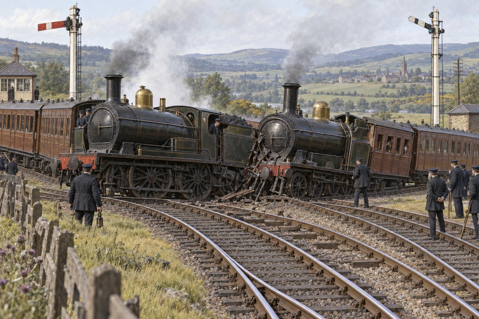
1880-05-29 · Kelso Junction, near St Boswells
A sidelong collision occurred between two passenger trains at Kelso Junction, a short distance south of St Boswells station.
Open the report source ↗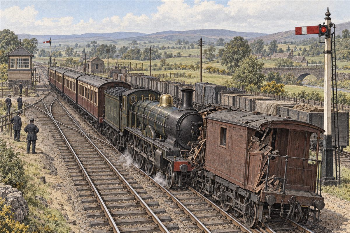
1880-06-04 · Riddings Junction
A passenger train ran into the rear of a stationary goods train at Riddings Junction.
Open the report source ↗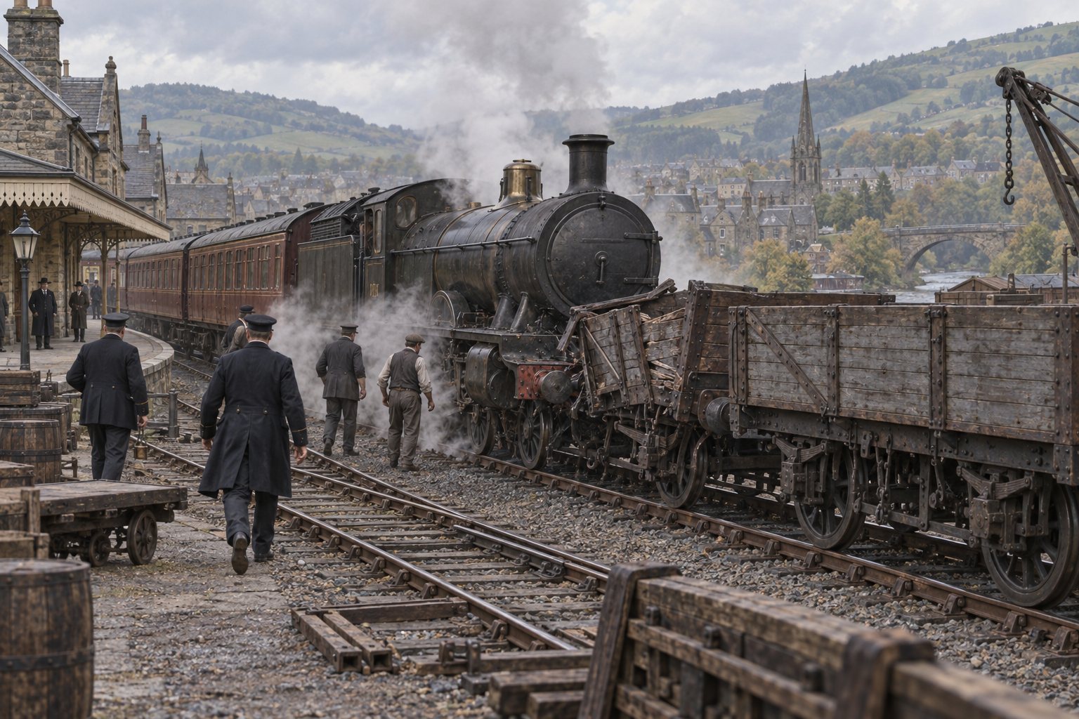
1899-10-19 · Galashiels
A passenger train collided with empty trucks at Galashiels.
Open the report source ↗Watch the railways
The film links open at their source so creator information and availability remain visible. They provide route or place context; none is labelled as footage of an accident.
 Watch film ↗
 External video
A modern film comparing the isolated junction, railway village and surviving landscape.
Xpl0r / YouTube
Archive film
Enthusiast film recorded in 1965 and preserved by the National Library of Scotland Moving Image Archive.
National Library of Scotland Moving Image Archive
 Watch film ↗
 Archive home movie
Digitised 8mm footage filmed by a young railway worker, including Callander and the connected Highland railway.
TheNorthscot / YouTube
 Watch film ↗
 Historical animation
An animated past-and-present journey along the lost railway beyond Callander.
Ghost Train: Lost Railways of Britain / YouTube
Continue the journey
Every photograph, later view, diagram and reconstruction remains connected to the railway and source that gives it meaning.